
Google Earth Engine——WRI/GFW/FORMA/thresholds该数据集包含阈值,当越过该阈值时,会产生FORMA警报。
NOTE from WRI: WRI decided to stop updating FORMA alerts. The goal was to simplify the Global Forest Watch user experience and reduce redundancy. We found that Terra-i and GLAD were more frequently u....

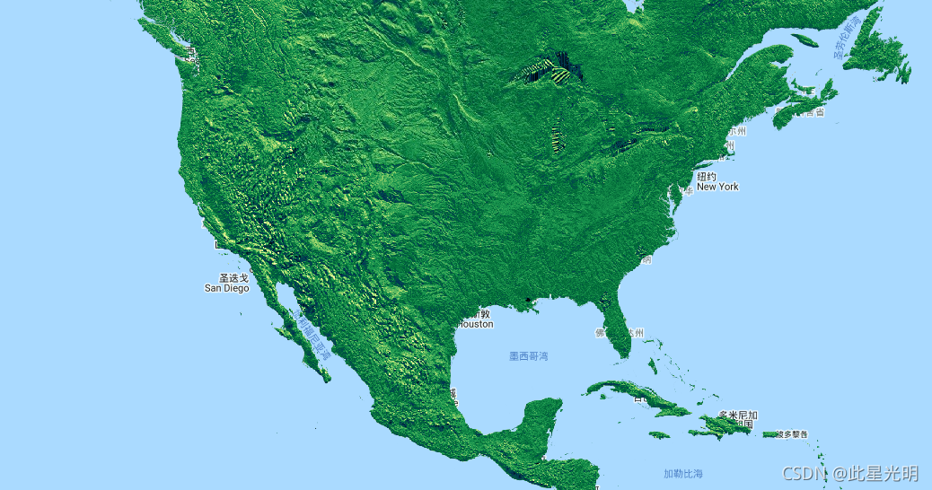
Google Earth Engine——WWF/HydroSHEDS/03DIR水文信息数据集提供了一套不同尺度的地理参考数据集(矢量和栅格),包括河流网络、流域边界、排水方向和流量积累。
HydroSHEDS is a mapping product that provides hydrographic information for regional and global-scale applications in a consistent format. It offers a suite of geo-referenced datasets (vector and rast....
Google Earth Engine——WWF/HydroSHEDS/03VFDEM该数据集的分辨率为3弧秒。3角秒的数据集是虚空填充DEM、水文条件DEM和排水(流)方向
HydroSHEDS is a mapping product that provides hydrographic information for regional and global-scale applications in a consistent format. It offers a suite of geo-referenced datasets (vector and rast....

Google Earth Engine——WWF河流流量累积数据集定义了排入每个单元的上游区域的数量(以单元数计)。排水方向层被用来定义哪些小区流入目标小区。累积单元的数量本质上是对上游集水区的测量。
HydroSHEDS is a mapping product that provides hydrographic information for regional and global-scale applications in a consistent format. It offers a suite of geo-referenced datasets (vector and rast....

Google Earth Engine——WWF/HydroSHEDS/15CONDEM该数据集的分辨率为15弧秒。15角秒的数据集是水文条件下的DEM、排水(流)方向和流量累积。
HydroSHEDS is a mapping product that provides hydrographic information for regional and global-scale applications in a consistent format. It offers a suite of geo-referenced datasets (vector and rast....

Google Earth Engine——WWF/HydroSHEDS/15DIR该数据集的分辨率为15弧秒。15角秒的数据集是水文条件下的DEM、排水(流)方向和流量累积。
HydroSHEDS is a mapping product that provides hydrographic information for regional and global-scale applications in a consistent format. It offers a suite of geo-referenced datasets (vector and rast....

Google Earth Engine——WWF/HydroSHEDS/30ACC该数据集的分辨率为30弧秒。30角秒的数据集是水文条件下的DEM、排水(流)方向和流量累积。
HydroSHEDS is a mapping product that provides hydrographic information for regional and global-scale applications in a consistent format. It offers a suite of geo-referenced datasets (vector and rast....

Google Earth Engine——WWF/HydroSHEDS/30CONDEM该数据集的分辨率为30弧秒。30弧秒的数据集是水文条件下的DEM、排水(流)方向和流量累积。
HydroSHEDS is a mapping product that provides hydrographic information for regional and global-scale applications in a consistent format. It offers a suite of geo-referenced datasets (vector and rast....

Google Earth Engine——WWF/HydroSHEDS/30DIR该数据集的分辨率为30弧秒。30角秒的数据集是水文条件下的DEM、排水(流)方向和流量累积。1km分辨率DEM
HydroSHEDS is a mapping product that provides hydrographic information for regional and global-scale applications in a consistent format. It offers a suite of geo-referenced datasets (vector and rast....

Google Earth Engine——WWF/HydroSHED该数据集根据15角秒(赤道上约500米)分辨率的栅格数据,提供了嵌套的、分层的流域多边形。分水岭的范围从1级(粗略)到12级(详细)
HydroSHEDS is a mapping product that provides hydrographic information for regional and global-scale applications in a consistent format. It offers a suite of geo-referenced datasets (vector and rast....

本页面内关键词为智能算法引擎基于机器学习所生成,如有任何问题,可在页面下方点击"联系我们"与我们沟通。
google更多数据集相关
- google森林数据集
- google时间序列数据集
- google烧伤数据集
- google modis数据集
- google图像数据集
- google earth modis数据集
- google空间数据集
- google earth engine尺度数据集
- google dsm数据集
- google 10m数据集
- google分辨率数据集
- google landsat数据集
- google网格数据集
- google global数据集
- google植被数据集
- google土壤数据集
- google engine植被数据集
- google非洲数据集
- google数据集气候
- google landsat指数数据集
- google ndvi数据集
- google engine数据集观测
- google指数数据集
- google影像数据集
- google公里数据集
- google表面数据集
- google火灾数据集
- google大气数据集
- google年际数据集
- google数据集观测
google您可能感兴趣
- google多模态
- google轻量
- google文本
- google任务
- google语言
- google图像
- google开源
- google gemma
- google模型
- google pro
- google engine
- google earth
- google gee
- google数据
- google play
- google分辨率
- google chrome
- google应用
- google解析
- google搜索
- google影像
- google ai
- google浏览器
- google分析
- google谷歌
- google网站
- google guava
- google地图
- google landsat
- google产品