
Google Earth Engine APP(GEE)——加拿大陆地生态系统中的土壤碳储量数据集
加拿大陆地生态系统中的土壤碳储量 这个集合包含了加拿大土壤和植物中碳储量的空间分布和树冠高度的数据集。它被公开,作为目前正在审查的出版物《加拿大陆地生态系统中的大型土壤碳储存》的补充数据。这些地图是在2020年1月至12月期间在麦克马斯特大学的遥感实验室制作的。这个研究项目是由世界野生动物基金会(WWF)-加拿大的拨款促成的。该项目旨在利用多源卫星、气候和地形数据以及机器学习算法,首次以...

Google Earth Engine(GEE)——全球农田有机土壤碳和氮排放(1992-2018年度)数据集
粮农组织关于排水有机土壤的两个相关数据集提供了以下估计值:DROSA-A:用于农业活动(农田和放牧草地)的有机土壤面积(公顷)DROSE-A:这些土地利用下有机土壤农业排水的碳 (C) 和一氧化二氮 (N2O) 估计值(以千兆克计)。年度数据的分辨率为 0.0083333 X 0.0083333(赤道约 1 公里),覆盖 1992 年至 2018 年期间的全球数据。粮农....
Google Earth Engine——全球土壤含沙量数据集:250米分辨率下6个标准深度(0、10、30、60、100和200厘米)的含沙量(%)(千克/千克)
Sand content in % (kg / kg) at 6 standard depths (0, 10, 30, 60, 100 and 200 cm) at 250 m resolutionBased on machine learning predictions from global compilation of soil profiles and samples. Process....

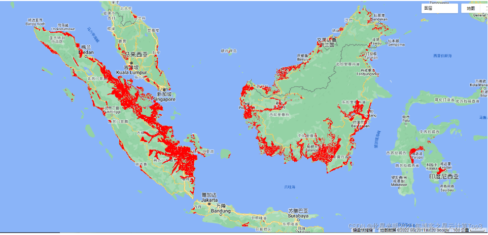
Google Earth Engine——全球土壤纹理数据集:250米处6个土壤深度(0、10、30、60、100和200厘米)的土壤纹理等级(美国农业部系统)。
Soil texture classes (USDA system) for 6 soil depths (0, 10, 30, 60, 100 and 200 cm) at 250 mDerived from predicted soil texture fractions using the soiltexture package in R. Processing steps are des....

Google Earth Engine ——2001-2017年非洲土壤深度 0-20 厘米和 20-50 厘米的可提取铁,预测平均值和标准偏差数据集
iSDAsoil Extractable IronExtractable iron at soil depths of 0-20 cm and 20-50 cm, predicted mean and standard deviation.Pixel values must be back-transformed with exp(x/10)-1.In areas of dense jungle....

Google Earth Engine ——2001-2017年使用坡度、化学和物理土壤特性得出的土壤肥力能力分类,预测平均值和标准偏差数据集
iSDAsoil Fertility Capability ClassificationSoil fertility capability classification derived using slope, chemical, and physical soil properties. For more information about this layer, please visit t....

Google Earth Engine ——2001-2017年非洲土壤深度 0-20 厘米和 20-50 厘米的可提取粘土含量,预测平均值和标准偏差数据集
Clay content at soil depths of 0-20 cm and 20-50 cm, predicted mean and standard deviation.In areas of dense jungle (generally over central Africa), model accuracy is low and therefore artefacts such....

Google Earth Engine ——2001-2017年非洲土壤深度 0-20 厘米和 20-50 厘米的可提取阳离子交换容量,预测平均值和标准偏差数据集
Effective Cation Exchange Capacity predicted mean and standard deviation at soil depths of 0-20 cm and 20-50 cm,Pixel values must be back-transformed with exp(x/10)-1.In areas of dense jungle (genera....

Google Earth Engine ——土壤的有机土栽培耕地和草地年度 (Annual)数据集
The two related FAO datasets on Drained Organic Soils provide estimates of:DROSA-A: area of Organic Soils (in hectares) drained for agricultural activities (cropland and grazed grassland)DROSE-A: car....

Google Earth Engine ——2001-2017年非洲土壤深度 0-20 厘米和 20-50 厘米的可提取总碳,预测平均值和标准偏差数据集
Total carbon at soil depths of 0-20 cm and 20-50 cm, predicted mean and standard deviation.Pixel values must be back-transformed with exp(x/10)-1.In areas of dense jungle (generally over central Afri....

本页面内关键词为智能算法引擎基于机器学习所生成,如有任何问题,可在页面下方点击"联系我们"与我们沟通。
google数据集相关内容
- google森林数据集
- google时间序列数据集
- google烧伤数据集
- google modis数据集
- google图像数据集
- google earth modis数据集
- google空间数据集
- google earth engine尺度数据集
- google dsm数据集
- google 10m数据集
- google earth engine dem数据集
- google人口数据集分辨率
- google分辨率数据集
- google地面数据集
- google火灾数据集
- google engine数据集波段
- google陆地系统数据集
- google加拿大数据集
- google陆地数据集
- google gee网格数据集
- google网格数据集
- google指数数据集
- google网格化人口数据集
- google影像数据集
- google landsat数据集
- google数据集分类
- google合成数据集
- google基岩数据集
- google数据集分辨率
- google气象数据集
google更多数据集相关
- google降水数据集
- google分布数据集
- google global数据集
- google气溶胶数据集
- google engine global change数据集
- google调查数据集
- google土地数据集
- google住区数据集
- google v1数据集
- google earth观测数据集
- google植被数据集
- google engine植被数据集
- google非洲数据集
- google数据集气候
- google landsat指数数据集
- google ndvi数据集
- google engine数据集观测
- google公里数据集
- google表面数据集
- google大气数据集
- google年际数据集
- google数据集观测
- google人口数据集
- google高分辨率数据集
- google earth gcom-c数据集
- google非洲土壤数据集
- google植被指数数据集
- google modis产品数据集
- google数据指数数据集
- google engine表面数据集
google您可能感兴趣
- google搜索功能
- google策略
- google推理
- google任务
- google多模态
- google轻量
- google文本
- google语言
- google图像
- google开源
- google engine
- google earth
- google gee
- google数据
- google play
- google分辨率
- google chrome
- google应用
- google解析
- google搜索
- google影像
- google ai
- google浏览器
- google分析
- google谷歌
- google网站
- google guava
- google地图
- google landsat
- google产品