
Google Earth Engine——全球增强植被指数(EVI)产品的基础数据集是MODIS BRDF校正图像(MCD43B4)
The underlying dataset for this Enhanced Vegetation Index (EVI) product is MODIS BRDF-corrected imagery (MCD43B4), which was gap-filled using the approach outlined in Weiss et al. (2014) to eliminate....

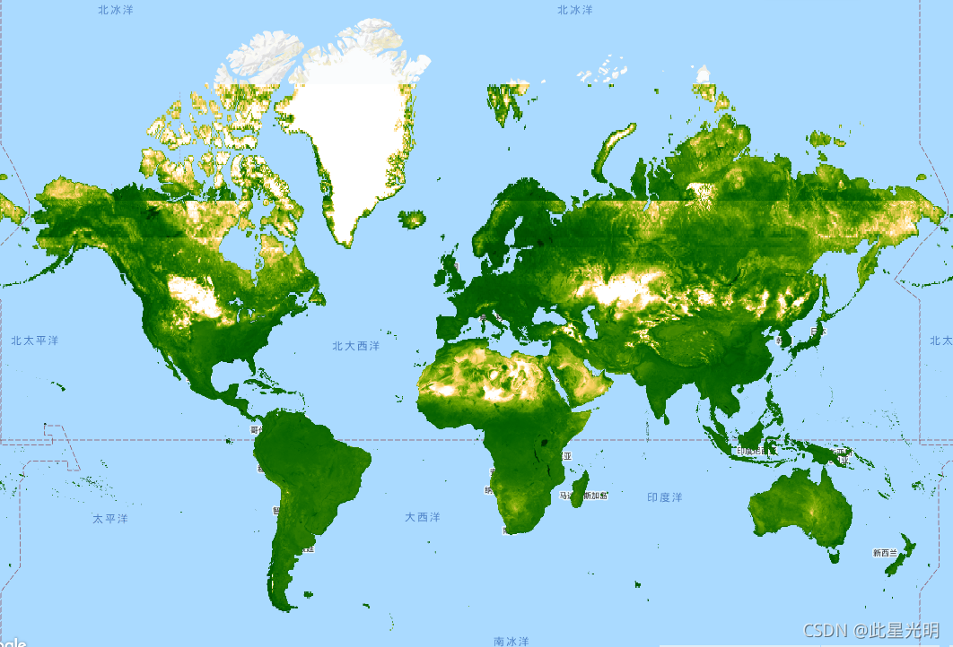
Google Earth Engine——全球土地覆盖产品的基础数据集是MODIS年度土地覆盖产品(MCD12Q1)中的IGBP层
The underlying dataset for this landcover product is the IGBP layer found within the MODIS annual landcover product (MCD12Q1). This data was converted from its categorical format, which has a ≈500 me....

Google Earth Engine——全球地表温度日间产品的基础数据集是MODIS陆地表面温度数据(MOD11A2)
The underlying dataset for this daytime product is MODIS land surface temperature data (MOD11A2), which was gap-filled using the approach outlined in Weiss et al. (2014) to eliminate missing data cau....

Google Earth Engine——流苏帽亮度(TCB)数据集该数据集由Malaria Atlas项目的Harry Gibson和Daniel Weiss制作
This gap-filled Tasseled Cap Brightness (TCB) dataset was created by applying the tasseled-cap equations defined in Lobser and Cohen (2007) to MODIS BRDF-corrected imagery (MCD43B4). The resulting da....
Google Earth Engine——Oxford MAP TCW: Malaria Atlas Project Gap-Filled Tasseled Cap Wetness数据集
This gap-filled Tasseled Cap Wetness (TCW) dataset was created by applying the tasseled-cap equations defined in Lobser and Cohen (2007) to MODIS BRDF-corrected imagery (MCD43B4). The resulting data ....

Google Earth Engine——北纬85度和南纬60度之间所有地区到最近的人口密集区的迁移时间数据集
This global accessibility map enumerates land-based travel time to the nearest densely-populated area for all areas between 85 degrees north and 60 degrees south for a nominal year 2015. Densely-popu....

Google Earth Engine——全球摩擦面列举了北纬85度和南纬60度之间的所有陆地像素在2015年的名义年的陆地迁移速度。
This global friction surface enumerates land-based travel speed for all land pixels between 85 degrees north and 60 degrees south for a nominal year 2015. This map was produced through a collaboratio....

Google Earth Engine——PRISM日数据集和月数据集是美国本土的网格化气候数据集,由俄勒冈州立大学的PRISM气候小组制作。
The PRISM daily and monthly datasets are gridded climate datasets for the conterminous United States, produced by the PRISM Climate Group at Oregon State University. Grids are developed using PRISM (....

Google Earth Engine——GOES-16/17 MCMIPM Series ABI Level 2 这些波段支持云、植被、雪/冰和气溶胶的特征。
GOES satellites are geostationary weather satellites run by NOAA.The Cloud and Moisture Imagery products are all at 2km resolution. Bands 1-6 are reflective. The dimensionless "reflectance factor" qu....

Google Earth Engine——NCEP-DOE Reanalysis 2项目正在使用最先进的分析/预报系统,利用1979年至前一年的过去数据进行数据同化。
NCEP-DOE Reanalysis 2 project is using a state-of-the-art analysis/forecast system to perform data assimilation using past data from 1979 through the previous year.NCEP-DOE Reanalysis 2项目正在使用最先进的分析/预....

本页面内关键词为智能算法引擎基于机器学习所生成,如有任何问题,可在页面下方点击"联系我们"与我们沟通。
google engine相关内容
- google earth engine栅格
- google engine数据
- google earth engine下载
- google engine应用
- google engine模型
- google engine构建
- google engine生物量
- google earth engine遥感
- google engine地上
- google engine雷达数据
- google engine空气
- google earth engine地表温度
- google earth engine gee卫星数据
- google earth engine森林序列
- google engine雷达
- google engine气候数据
- google earth engine导出
- google engine导出
- google engine空间
- google earth engine values
- google engine gee火灾
- google engine组织
- google earth engine gee landsat
- google engine landsat8 ndvi
- google earth engine gee landsat8影像
- google engine ndvi
- google earth engine evi
- google engine特征
- google engine gee特征
- google engine计算
google更多engine相关
- google earth engine lst
- google earth engine地图
- google engine gee案例
- google earth engine地表
- google engine面积
- google earth engine影像
- google earth engine融合
- google engine地球
- google engine gee
- google earth engine gee contain
- google earth engine数据集
- google engine分辨率
- google engine影像
- google engine gee数据集
- google earth engine数据数据集
- google engine modis
- google earth engine图像
- google earth engine指数数据集
- google engine数据集分辨率
- google engine植被
- google engine分辨率数据集
- google earth engine土壤
- google earth engine global
- google engine数据集数据
- google earth engine归一化
- google engine dem
- google earth engine人口
- google engine分类
- google earth engine面积
- google earth engine陆地
google您可能感兴趣
- google区别
- google seo
- google分析
- google抓取
- google search
- google代码
- google视频
- google python
- google架构
- google实战
- google earth
- google数据集
- google gee
- google数据
- google play
- google分辨率
- google chrome
- google应用
- google解析
- google开源
- google搜索
- google影像
- google ai
- google浏览器
- google谷歌
- google网站
- google guava
- google地图
- google landsat
- google工具
