
Google Earth Engine ——全球陆地数据同化系统(GLDAS)摄取了卫星和地面观测数据产品大气分析场、降水场和辐射场数据集
Global Land Data Assimilation System (GLDAS) ingests satellite and ground-based observational data products. Using advanced land surface modeling and data assimilation techniques, it generates optima....
Google Earth Engine ——GIMMS NDVI是由NOAA的几个AVHRR传感器为全球1/12度的纬度/龙格生成的数据集
GIMMS NDVI is generated from several NOAA's AVHRR sensors for a global 1/12-degree lat/lon grid. The latest version of the GIMMS NDVI dataset is named NDVI3g (third generation GIMMS NDVI from AVHRR s....

Google Earth Engine ——FLDAS: 发展中国家的粮食安全评估数据集
The FLDAS dataset (McNally et al. 2017), was designed to assist with food security assessments in data-sparse, developing country settings. It includes information on many climate-related variables i....

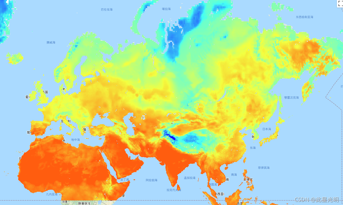
Google Earth Engine ——高级星载热辐射和反射辐射计全球发射率数据库(ASTER-GED)地表温度数据集
The Advanced Spaceborne Thermal Emission and Reflection Radiometer Global Emissivity Database (ASTER-GED) was developed by the National Aeronautics and Space Administration's (NASA) Jet Propulsion La....

Google Earth Engine ——MOD16A2 V105产品以1公里的像素分辨率提供8天的全球陆地蒸发量(ET)信息
The MOD16A2 V105 product provides information about 8-day global terrestrial evapotranspiration at 1km pixel resolution. Evapotranspiration (ET) is the sum of evaporation and plant transpiration from....
Google Earth Engine ——MODIS Terra/Aqua Daily归一化差异水指数(NDWI)
The Normalized Difference Water Index (NDWI) is sensitive to changes in liquid water content of vegetation canopies. It is derived from the Near-IR band and a second IR band, ≈1.24μm when available a....

Google Earth Engine ——MODIS Terra/Aqua Daily NDVI数据集
The Normalized Difference Vegetation Index is generated from the Near-IR and Red bands of each scene as (NIR - Red) / (NIR + Red), and ranges in value from -1.0 to 1.0. This product is generated from....
Google Earth Engine ——MODIS Terra/Aqua Daily EVI数据
The Enhanced Vegetation Index (EVI) is generated from the Near-IR, Red and Blue bands of each scene, and ranges in value from -1.0 to 1.0. See Huete et al. (2002) for details. This product is generat....

Google Earth Engine ——MODIS Terra/Aqua Daily BAI烧伤面积指数(BAI)
The Burn Area Index (BAI) is generated from the Red and Near-IR bands, and measures the spectral distance of each pixel from a reference spectral point (the measured reflectance of charcoal). This in....

Google Earth Engine ——MODIS Terra/Aqua Daily NDSI归一化差异雪指数数据集
The Normalized Difference Snow Index is used to identify snow, based on its characteristically higher reflectance in the visible portion of the spectrum compared to the mid-IR. NDSI is computed using....

本页面内关键词为智能算法引擎基于机器学习所生成,如有任何问题,可在页面下方点击"联系我们"与我们沟通。
google engine相关内容
- google earth engine栅格
- google engine数据
- google earth engine下载
- google engine应用
- google engine模型
- google engine构建
- google engine生物量
- google earth engine遥感
- google engine地上
- google engine雷达数据
- google engine空气
- google earth engine地表温度
- google earth engine gee卫星数据
- google earth engine森林序列
- google engine雷达
- google engine气候数据
- google earth engine导出
- google engine导出
- google engine空间
- google earth engine values
- google engine gee火灾
- google engine组织
- google earth engine gee landsat
- google engine landsat8 ndvi
- google earth engine gee landsat8影像
- google engine ndvi
- google earth engine evi
- google engine特征
- google engine gee特征
- google engine计算
google更多engine相关
- google earth engine lst
- google earth engine地图
- google engine gee案例
- google earth engine地表
- google engine面积
- google earth engine影像
- google earth engine融合
- google engine地球
- google engine gee
- google earth engine gee contain
- google earth engine数据集
- google engine分辨率
- google engine影像
- google engine gee数据集
- google earth engine数据数据集
- google engine modis
- google earth engine图像
- google earth engine指数数据集
- google engine数据集分辨率
- google engine植被
- google engine分辨率数据集
- google earth engine土壤
- google earth engine global
- google engine数据集数据
- google earth engine归一化
- google engine dem
- google earth engine人口
- google engine分类
- google earth engine面积
- google earth engine陆地
google您可能感兴趣
- google代码
- google视频
- google python
- google架构
- google实战
- google模型
- google工具
- google搜索功能
- google策略
- google推理
- google earth
- google数据集
- google gee
- google数据
- google play
- google分辨率
- google chrome
- google应用
- google解析
- google开源
- google搜索
- google影像
- google ai
- google浏览器
- google分析
- google谷歌
- google网站
- google guava
- google地图
- google landsat