
Google Earth Engine(GEE)——大尺度范围的GIMMS NDVI From AVHRR Sensors (3rd Generation)如何下载?
问题:NOAA的GIMMS NDVI怎么下载吗?今天有个粉丝问到数据如何下载,按我们简单写一篇博客来分析一下,其实很简单。数据集:GIMMS NDVI From AVHRR Sensors (3rd Generation)Dataset Availability1981-07-01T00:00:00 - 2013-12-31T00:00:00Dataset ProviderNASA/NOAACo....

Google Earth Engine——GRACE Tellus(GRCTellus)月度质量网格海洋数据集
GRACE Tellus Monthly Mass Grids provides monthly gravitational anomalies relative to a 2004-2010 time-mean baseline. The data contained in this dataset are units of "Equivalent Water Thickness" which....

Google Earth Engine——美国1950-2099年降水、气温含预测数据集(1km)分辨率
The NASA NEX-DCP30 dataset is comprised of downscaled climate scenarios for the conterminous United States that are derived from the General Circulation Model (GCM) runs conducted under the Coupled M....

Google Earth Engine——国防气象计划(DMSP)的运行线路扫描系统(OLS)具有独特的能力来探测夜间的可见和近红外(VNIR)发射源。包含了全球夜间的灯光图像
The Defense Meteorological Program (DMSP) Operational Line-Scan System (OLS) has a unique capability to detect visible and near-infrared (VNIR) emission sources at night.This collection contains glob....

Google Earth Engine——NOAA/CDR/PATMOSX/V53提供了高质量的气候数据记录(CDR),以及高级甚高分辨率辐射计(AVHRR)的亮度温度和反射率的多种云特性
This dataset provides high quality Climate Data Record (CDR) of multiple cloud properties along with Advanced Very High Resolution Radiometer (AVHRR) brightness temperatures and reflectances. These d....

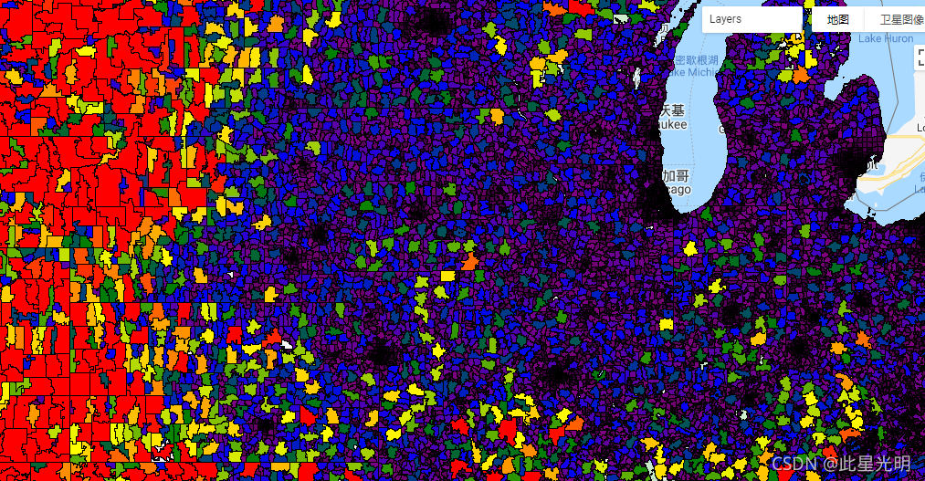
Google Earth Engine——美国邮政编码表数据集区(ZCTA)是美国邮政服务(USPS)5位数邮政编码的近似区域代表
ZIP Code tabulation areas (ZCTAs) are approximate area representations of U.S. Postal Service (USPS) 5-digit ZIP Codes. The Census Bureau defines ZCTAs by allocating each Census block that contains a....
Google Earth Engine(GEE)——sentinel-5p数据每三日SO2数据平均值
问题:我刚接触GEE,关于您发的Google Earth Engine——Sentinel-5P (Sentinel-5P OFFL SO2)二氧化硫的使用和下载(中国区域案例分析和下载)这篇文章,我还想请教您个问题。您分享了中国区域SO2展示和下载的代码,但是这个代码里是11天的数据取平均后,镶嵌在一张图上?不知道我理解的是不是对的。我现在如果要下载三个月的数据,每三天的数据平均镶嵌在一张ti....

Google Earth Engine——NASA-USDA增强型SMAP全球土壤水分数据以10公里的空间分辨率提供全球的土壤水分信息。包括:地表和地下土壤湿度(毫米)和异常,土壤湿度剖面(%)
The NASA-USDA Enhanced SMAP Global soil moisture data provides soil moisture information across the globe at 10-km spatial resolution. This dataset includes: surface and subsurface soil moisture (mm)....
Google Earth Engine——GRACE Tellus月度质量网格提供了相对于2004-2010年时间平均基线的月度引力异常值
GRACE Tellus Monthly Mass Grids provides monthly gravitational anomalies relative to a 2004-2010 time-mean baseline. The data contained in this dataset are units of "Equivalent Water Thickness" which....

Google Earth Engine——清华Tsinghua/FROM-GLC/GAIA/v10该数据集包含1985年至2018年全球不透水表面积的年度变化信息,分辨率为30米
This dataset contains annual change information of global impervious surface area from 1985 to 2018 at a 30m resolution. Change from pervious to impervious was determined using a combined approach of....

本页面内关键词为智能算法引擎基于机器学习所生成,如有任何问题,可在页面下方点击"联系我们"与我们沟通。
google engine相关内容
- google earth engine栅格
- google engine数据
- google earth engine下载
- google engine应用
- google engine模型
- google engine构建
- google engine生物量
- google earth engine遥感
- google engine地上
- google engine雷达数据
- google engine空气
- google earth engine地表温度
- google earth engine gee卫星数据
- google earth engine森林序列
- google engine雷达
- google engine气候数据
- google earth engine导出
- google engine导出
- google engine空间
- google earth engine values
- google engine gee火灾
- google engine组织
- google earth engine gee landsat
- google engine landsat8 ndvi
- google earth engine gee landsat8影像
- google engine ndvi
- google earth engine evi
- google engine特征
- google engine gee特征
- google engine计算
google更多engine相关
- google earth engine lst
- google earth engine地图
- google engine gee案例
- google earth engine地表
- google engine面积
- google earth engine影像
- google earth engine融合
- google engine地球
- google engine gee
- google earth engine gee contain
- google earth engine数据集
- google engine分辨率
- google engine影像
- google engine gee数据集
- google earth engine数据数据集
- google engine modis
- google earth engine图像
- google earth engine指数数据集
- google engine数据集分辨率
- google engine植被
- google engine分辨率数据集
- google earth engine土壤
- google earth engine global
- google engine数据集数据
- google earth engine归一化
- google engine dem
- google earth engine人口
- google engine分类
- google earth engine面积
- google earth engine陆地
google您可能感兴趣
- google区别
- google seo
- google分析
- google抓取
- google search
- google代码
- google视频
- google python
- google架构
- google实战
- google earth
- google数据集
- google gee
- google数据
- google play
- google分辨率
- google chrome
- google应用
- google解析
- google开源
- google搜索
- google影像
- google ai
- google浏览器
- google谷歌
- google网站
- google guava
- google地图
- google landsat
- google工具
