
Google Earth Engine —— MODIS影像数据集分析
本文将MODIS系列和使用图像所需的相关质量信息。 This chapter provides an overview of the MODIS collections and products. MODIS collections. Daily Products¶ MCD43A4.006 MODIS Nadir BRDF-Adjusted Refle...
Google Earth Engine ——Sentinel1/2/3/5p 影像集合介绍
本教程讲述了Landsat系列和使用图像所需的相关质量信息。 This chapter provides an overview of the Landsat collections and relevant quality information necessary for using the imagery. Sentinel platform. Sentinel-...
Google Earth Engine ——Landsat 5 和Landsat1-4影像集合
Landsat 5¶ Landsat 5 collection. Surface Reflectance¶ USGS Landsat 5 Surface Reflectance Tier 1 USGS Landsat 5 Surface Reflectance Tier 2 Top of Atmosphere (TOA)¶ ...
Google Earth Engine ——Landsat 7 影像集合数据集详细介绍
Landsat 7¶ Landsat 7 collection. Surface Reflectance¶ USGS Landsat 7 Surface Reflectance Tier 1 USGS Landsat 7 Surface Reflectance Tier 2 Top of Atmosphere (TOA)¶ ...
Google Earth Engine ——Landsat 8 影像集合Collection详细介绍
This chapter provides an overview of the Landsat collections and relevant quality information necessary for using the imagery. 本章概述了Landsat8系列和使用图像所需的相关质量信息。 Landsat platform. Landsat pro...
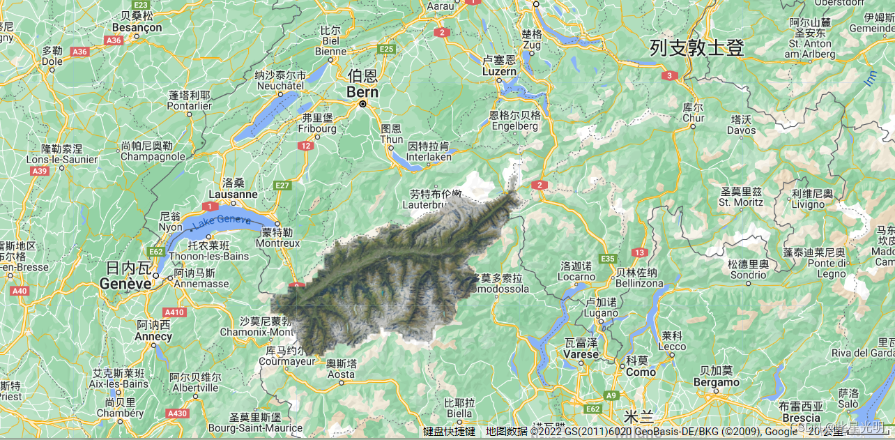
Google Earth Engine ——瑞士(SWISSIMAGE 10 cm RGB imagery)超高分辨率航空影像数据集(0.1m分辨率)
The SWISSIMAGE 10 cm orthophoto mosaic is an assembly of new color digital aerial images over the whole of Switzerland with a ground resolution of 10 cm in the plains and the main alpine valleys and ....
Google Earth Engine谷歌地球引擎GEE批量下载ImageCollection遥感影像数据合集的方法
本文介绍在谷歌地球引擎GEE中,批量导出、下载ee.ImageCollection格式的多张栅格遥感影像数据的简便方法。 本文是谷歌地球引擎(Google Earth Engine,GEE)系列教学文章的第十九篇,更多GEE文章请参考专栏:GEE学习与应用(https://blog.csdn.net/zhebushibiaoshifu/category_11081040.html)。 在....
Google Earth Engine谷歌地球引擎计算多年中某两个时间点之间遥感数据差值的平均值
本文介绍在谷歌地球引擎GEE中,提取、计算某一种遥感影像产品在连续的多年中,2个不同时相的数据差值的多年平均值,并将计算得到的这一景差值的结果图像导出的方法。 本文是谷歌地球引擎(Google Earth Engine,GEE)系列教学文章的第十八篇,更多GEE文章请参考专栏:GEE学习与应用(https://blog.csdn.net/zhebushibiaoshifu/category....
Google Earth Engine谷歌地球引擎提取多波段长期反射率数据后绘制折线图并导出为Excel
本文介绍在谷歌地球引擎GEE中,提取多年遥感影像多个不同波段的反射率数据,在GEE内绘制各波段的长时间序列走势曲线图,并将各波段的反射率数据与其对应的成像日期一起导出为.csv文件的方法。 本文是谷歌地球引擎(Google Earth Engine,GEE)系列教学文章的第十六篇,更多GEE文章请参考专栏:GEE学习与应用(https://blog.csdn.net/zhebushibia....

Google Earth Engine谷歌地球引擎GEE合并多个不同Asset的方法
本文介绍在GEE中,将多个存储有点要素的Asset加以合并,使得其成为一个Asset的方法。 本文是谷歌地球引擎(Google Earth Engine,GEE)系列教学文章的第十五篇,更多GEE文章请参考专栏:GEE学习与应用(https://blog.csdn.net/zhebushibiaoshifu/category_11081040.html)。 首先,我们来看一下本文需要实现....
本页面内关键词为智能算法引擎基于机器学习所生成,如有任何问题,可在页面下方点击"联系我们"与我们沟通。
google engine相关内容
- google earth engine栅格
- google engine数据
- google earth engine下载
- google engine应用
- google engine模型
- google engine构建
- google engine生物量
- google earth engine遥感
- google engine地上
- google engine雷达数据
- google engine空气
- google earth engine地表温度
- google earth engine gee卫星数据
- google earth engine森林序列
- google engine雷达
- google engine气候数据
- google earth engine导出
- google engine导出
- google engine空间
- google earth engine values
- google engine gee火灾
- google engine组织
- google earth engine gee landsat
- google engine landsat8 ndvi
- google earth engine gee landsat8影像
- google engine ndvi
- google earth engine evi
- google engine特征
- google engine gee特征
- google engine计算
google更多engine相关
- google earth engine lst
- google earth engine地图
- google engine gee案例
- google earth engine地表
- google engine面积
- google earth engine影像
- google earth engine融合
- google engine地球
- google engine gee
- google earth engine gee contain
- google earth engine数据集
- google engine分辨率
- google engine影像
- google engine gee数据集
- google earth engine数据数据集
- google engine modis
- google earth engine图像
- google earth engine指数数据集
- google engine数据集分辨率
- google engine植被
- google engine分辨率数据集
- google earth engine土壤
- google earth engine global
- google engine数据集数据
- google earth engine归一化
- google engine dem
- google earth engine人口
- google engine分类
- google earth engine面积
- google earth engine陆地
google您可能感兴趣
- google区别
- google seo
- google分析
- google抓取
- google search
- google代码
- google视频
- google python
- google架构
- google实战
- google earth
- google数据集
- google gee
- google数据
- google play
- google分辨率
- google chrome
- google应用
- google解析
- google开源
- google搜索
- google影像
- google ai
- google浏览器
- google谷歌
- google网站
- google guava
- google地图
- google landsat
- google工具