
Google Earth Engine ——Landsat 5 TM_TOA数据集DN值缩放的、校准的传感器辐射度数据集
Landsat 5 TM Collection 1 Tier 1 calibrated top-of-atmosphere (TOA) reflectance. Calibration coefficients are extracted from the image metadata. See Chander et al. (2009) for details on the TOA compu....

Google Earth Engine ——Landsat 5 TM_TOA DN值缩放的、校准的传感器辐射度数据集
Landsat 5 TM Collection 1 Tier 2 DN values, representing scaled, calibrated at-sensor radiance.Scenes not meeting Tier 1 criteria during processing are assigned to Tier 2. This includes Systematic te....

Google Earth Engine ——Landsat 5 TM合成影像8天/32天/年际归一化植被指数(NDWI)指数数据集
These Landsat 5 TM composites are made from Level L1T orthorectified scenes, using the computed top-of-atmosphere (TOA) reflectance. See Chander et al. (2009) for details on the TOA computation.As of....

Google Earth Engine ——Landsat 5 TM合成影像8天/32天/年际归一化差异雪指数(NDSI)指数数据集
These Landsat 5 TM composites are made from Level L1T orthorectified scenes, using the computed top-of-atmosphere (TOA) reflectance. See Chander et al. (2009) for details on the TOA computation.As of....

Google Earth Engine ——Landsat 5 TM合成影像8天/32天/年际归一化燃烧比热(NBRT)指数数据集
These Landsat 5 TM composites are made from Level L1T orthorectified scenes, using the computed top-of-atmosphere (TOA) reflectance. See Chander et al. (2009) for details on the TOA computation.As of....

Google Earth Engine ——Landsat 5 TM合成影像8天/32天/年际增强植被指数(EVI)数据集
These Landsat 8 composites are made from Level L1T orthorectified scenes, using the computed top-of-atmosphere (TOA) reflectance. See Chander et al. (2009) for details on the TOA computation.As of Ma....

Google Earth Engine ——LANDSAT 4系列归一化植被指数NDVI——8天/32天/年际合成数据集
These Landsat 4 TM composites are made from Level L1T orthorectified scenes, using the computed top-of-atmosphere (TOA) reflectance. See Chander et al. (2009) for details on the TOA computation.As of....

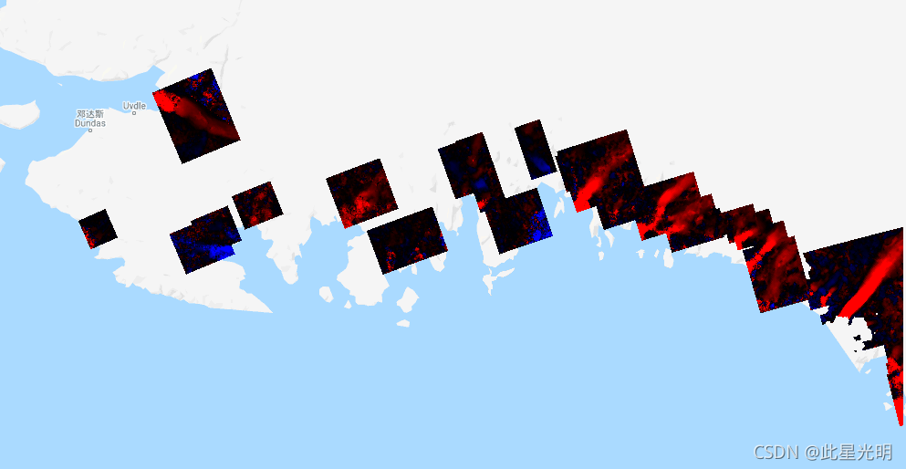
Google Earth Engine——该数据集为格陵兰岛冰原提供了15米的完整的陆地冰和海洋分类
This dataset provides complete land ice and ocean classification masks at 15 m for the Greenland ice sheet. Ice cover was mapped using a combination of orthorectified panchromatic (band 8) imagery fr....

Google Earth Engine—该数据集提供了格陵兰岛冰盖的完整的15米分辨率的图像,该图像来自1999年至2002年的Landsat 7 ETM+和RADARSAT-1 SAR图像
This dataset provides a complete 15 m resolution image mosaic of the Greenland ice sheet derived from Landsat 7 ETM+ and RADARSAT-1 SAR imagery from the years 1999 to 2002. The methods include a comb....

Google Earth Engine——该数据集是美国宇航局在研究环境中使用地球系统数据记录 (MEaSUREs) 计划的一部分,包括选定冰川出口区域的月平均速度图
This dataset, part of the NASA Making Earth System Data Records for Use in Research Environments (MEaSUREs) program, consists of mean monthly velocity maps for selected glacier outlet areas. The maps....
本页面内关键词为智能算法引擎基于机器学习所生成,如有任何问题,可在页面下方点击"联系我们"与我们沟通。
google engine相关内容
- google earth engine栅格
- google earth engine
- google engine数据
- google earth engine下载
- google engine应用
- google engine模型
- google engine构建
- google engine生物量
- google earth engine遥感
- google engine地上
- google engine雷达数据
- google engine空气
- google earth engine地表温度
- google earth engine gee卫星数据
- google earth engine森林序列
- google engine雷达
- google engine气候数据
- google earth engine导出
- google engine导出
- google engine空间
- google earth engine values
- google engine gee火灾
- google engine组织
- google earth engine gee landsat
- google engine landsat8 ndvi
- google earth engine gee landsat8影像
- google engine ndvi
- google earth engine evi
- google engine特征
- google engine gee特征
google更多engine相关
- google engine计算
- google earth engine lst
- google earth engine地图
- google engine gee案例
- google earth engine地表
- google engine面积
- google earth engine影像
- google earth engine融合
- google engine地球
- google engine gee
- google engine分辨率
- google engine影像
- google engine gee数据集
- google earth engine数据数据集
- google engine modis
- google earth engine图像
- google earth engine指数数据集
- google engine数据集分辨率
- google engine植被
- google engine分辨率数据集
- google earth engine土壤
- google earth engine global
- google engine数据集数据
- google earth engine归一化
- google engine dem
- google earth engine人口
- google engine分类
- google earth engine面积
- google earth engine陆地
- google engine归一化数据集
google您可能感兴趣
- google嵌入
- google雷达
- google光学
- google climate
- google卫星
- google deepmind
- google数据集
- google dem
- google 10m
- google区别
- google earth
- google gee
- google数据
- google play
- google分辨率
- google chrome
- google应用
- google解析
- google开源
- google搜索
- google影像
- google分析
- google ai
- google浏览器
- google谷歌
- google网站
- google guava
- google地图
- google landsat
- google工具
