
Google Earth Engine——全球海洋颜色、叶绿素、反射率和颗粒有机碳等数据集
This level 3 product includes ocean color and satellite ocean biology data produced or collected under EOSDIS.This dataset may be used for studying the biology and hydrology of coastal zones, changes....

Google Earth Engine ——GLDAS-2.0是用更新的普林斯顿全球气象强迫数据集基于MODIS的地表参数数据集
Global Land Data Assimilation System (GLDAS) ingests satellite and ground-based observational data products. Using advanced land surface modeling and data assimilation techniques, it generates optima....

Google Earth Engine ——全球陆地数据同化系统(GLDAS)摄取了卫星和地面观测数据产品大气分析场、降水场和辐射场数据集
Global Land Data Assimilation System (GLDAS) ingests satellite and ground-based observational data products. Using advanced land surface modeling and data assimilation techniques, it generates optima....
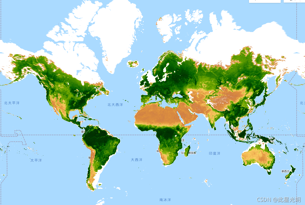
Google Earth Engine ——GIMMS NDVI是由NOAA的几个AVHRR传感器为全球1/12度的纬度/龙格生成的数据集
GIMMS NDVI is generated from several NOAA's AVHRR sensors for a global 1/12-degree lat/lon grid. The latest version of the GIMMS NDVI dataset is named NDVI3g (third generation GIMMS NDVI from AVHRR s....

Google Earth Engine ——FLDAS: 发展中国家的粮食安全评估数据集
The FLDAS dataset (McNally et al. 2017), was designed to assist with food security assessments in data-sparse, developing country settings. It includes information on many climate-related variables i....

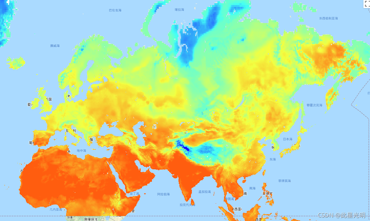
Google Earth Engine ——高级星载热辐射和反射辐射计全球发射率数据库(ASTER-GED)地表温度数据集
The Advanced Spaceborne Thermal Emission and Reflection Radiometer Global Emissivity Database (ASTER-GED) was developed by the National Aeronautics and Space Administration's (NASA) Jet Propulsion La....

Google Earth Engine ——MODIS Terra/Aqua Daily NDVI数据集
The Normalized Difference Vegetation Index is generated from the Near-IR and Red bands of each scene as (NIR - Red) / (NIR + Red), and ranges in value from -1.0 to 1.0. This product is generated from....
Google Earth Engine ——MODIS Terra/Aqua Daily NDSI归一化差异雪指数数据集
The Normalized Difference Snow Index is used to identify snow, based on its characteristically higher reflectance in the visible portion of the spectrum compared to the mid-IR. NDSI is computed using....

Google Earth Engine ——MYDOCGA V6海洋反射率产品由Aqua MODIS 8-16波段的1公里反射率数据组成。为海洋反射率数据集
The MYDOCGA V6 ocean reflectance product consists of 1 kilometer reflectance data from Aqua MODIS bands 8-16. The product is referred to as ocean reflectance, because bands 8-16 are used primarily to....

Google Earth Engine ——MYD15A2H V6 MODIS综合叶面积指数(LAI)和光合有效辐射分数(FPAR)产品是一个500米分辨率的8天综合数据集
The MYD15A2H V6 MODIS combined Leaf Area Index (LAI) and Fraction of Photosynthetically Active Radiation (FPAR) product is an 8-day composite dataset at 500m resolution. The algorithm chooses the "be....

本页面内关键词为智能算法引擎基于机器学习所生成,如有任何问题,可在页面下方点击"联系我们"与我们沟通。
google engine相关内容
- google earth engine栅格
- google earth engine
- google engine数据
- google earth engine下载
- google engine应用
- google engine模型
- google engine构建
- google engine生物量
- google earth engine遥感
- google engine地上
- google engine雷达数据
- google engine空气
- google earth engine地表温度
- google earth engine gee卫星数据
- google earth engine森林序列
- google engine雷达
- google engine气候数据
- google earth engine导出
- google engine导出
- google engine空间
- google earth engine values
- google engine gee火灾
- google engine组织
- google earth engine gee landsat
- google engine landsat8 ndvi
- google earth engine gee landsat8影像
- google engine ndvi
- google earth engine evi
- google engine特征
- google engine gee特征
google更多engine相关
- google engine计算
- google earth engine lst
- google earth engine地图
- google engine gee案例
- google earth engine地表
- google engine面积
- google earth engine影像
- google earth engine融合
- google engine地球
- google engine gee
- google engine分辨率
- google engine影像
- google engine gee数据集
- google earth engine数据数据集
- google engine modis
- google earth engine图像
- google earth engine指数数据集
- google engine数据集分辨率
- google engine植被
- google engine分辨率数据集
- google earth engine土壤
- google earth engine global
- google engine数据集数据
- google earth engine归一化
- google engine dem
- google earth engine人口
- google engine分类
- google earth engine面积
- google earth engine陆地
- google engine归一化数据集
google您可能感兴趣
- google嵌入
- google雷达
- google光学
- google climate
- google卫星
- google deepmind
- google数据集
- google dem
- google 10m
- google区别
- google earth
- google gee
- google数据
- google play
- google分辨率
- google chrome
- google应用
- google解析
- google开源
- google搜索
- google影像
- google分析
- google ai
- google浏览器
- google谷歌
- google网站
- google guava
- google地图
- google landsat
- google工具